• Sign in
  • |

Home Camera

Choose your language

  • Deutsch
  • English

Tag: Camera

Webinar-Consortiq-Using the right sensor for the right job
Webinar

Using the right sensor for the right job

Webinar-FLYING-CAM-unmanned-data-acquisition
Webinar

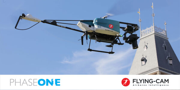
Unmanned Airborne Intelligence with a Soul Inside by Flying-Cam

Inspection camera for powerline corridor mapping
Geospatial

NV5 Geospatial – Capturing Precise Details, with Four Phase One Cameras Integrated into Helicopter-based CLASS

webinar Mena3D high-resolution drone payload
Webinar

Highest Resolution Drone Platform Coming to the Arab World! منصة طائرات بدون طيار عالية الدقة قادمة إلى العالم العربي!

Webinar_SimActive
Webinar

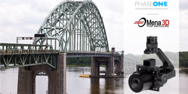
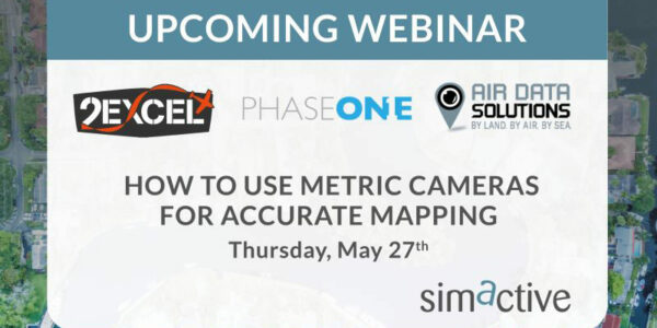
How to use metric cameras for accurate mapping

multi-sensor power line inspection
Geospatial

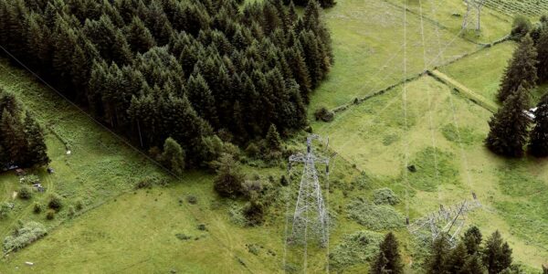
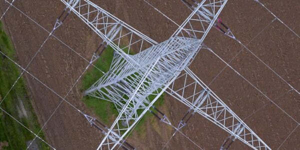
Siemens and GGS – Revolutionizing Powerline Inspection with Multi-Sensor Systems and Artificial Intelligence

Webinar

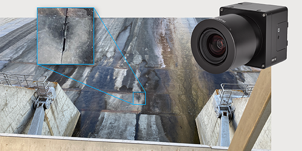
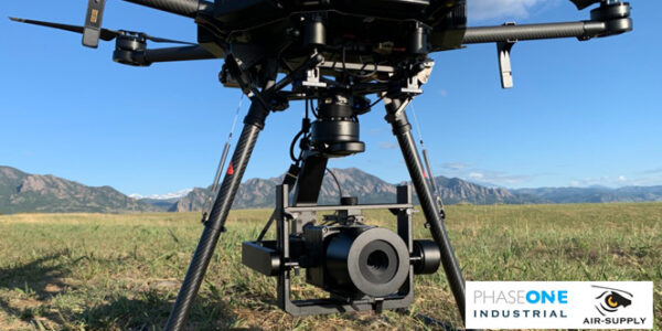
Industrial Applications Utilizing the Gremsy Gimbal & Phase One iXM Camera

Altair Multisensor 3D Mapping Imagery Solution
Geospatial

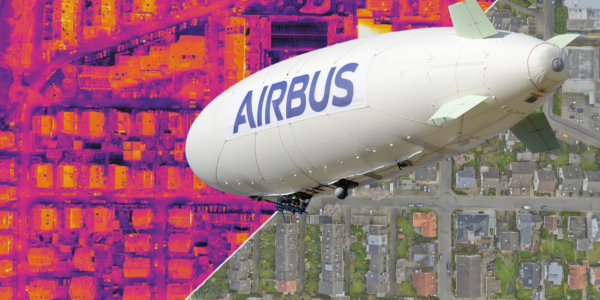
Airbus ALTAIR – A First for Large Scale High Definition 3D Mapping and 3D Mapping Solutions

Webinar

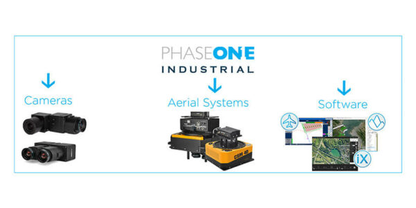
Systems, Cameras and Software to win Projects

Geospatial

LiDARUSA High-Definition Inspection Goes Mobile

  • Applications
    • Geospatial Imagery
    • Space
    • Heritage
    • Bespoke Photography
  • Solutions
    • Geospatial solutions
    • Space solutions
    • Heritage solutions
    • Photographic Cameras
  • Knowledge Hub
    • Case Studies
    • Events overview
    • Inspiration
    • Press Releases
    • Video Hub
  • About
    • Find a Local Geospatial Partner
    • Find a local Photography Partner
    • Find a Local Heritage Partner
    • Find a rental studio
    • Phase One Certified Professional
    • Careers
  • Contact us
  • Legal
  • Privacy Policy
  • Cookie Policy
  • Terms and Conditions
© Phase One 2026
  • Legal
  • Privacy Policy
  • Cookie Policy
  • Terms and Conditions